A training program on collaborative mapping and digital storytelling for participatory practice.
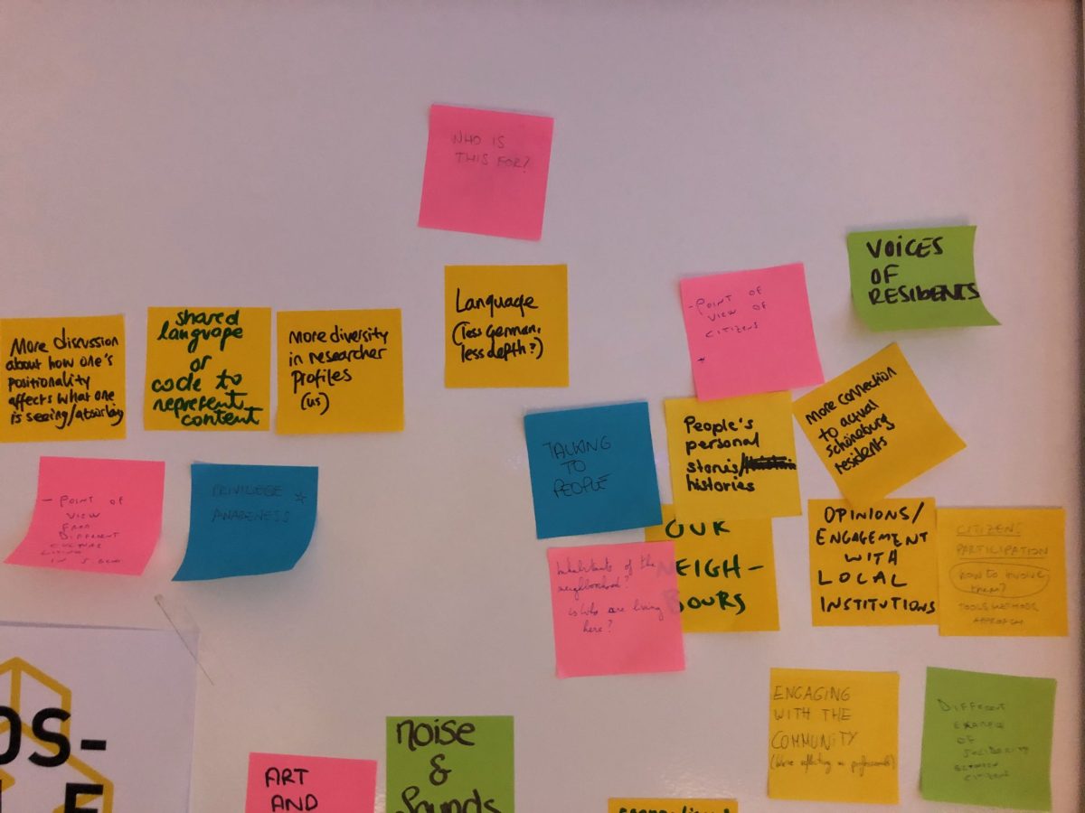
In January our Collaborative Atlases lab came to an end. The program, which was part of the Erasmus+ OpenCCCP project, worked with a group of early career professionals from the fields of urban planning, social development and contemporary art to develop practices and tools for urban community engagement and mapping. Key themes of the lab included gender & diversity, emotional geography, urban power structures and the application of urban reconnaissance tools for collaborative mapping and digital storytelling.
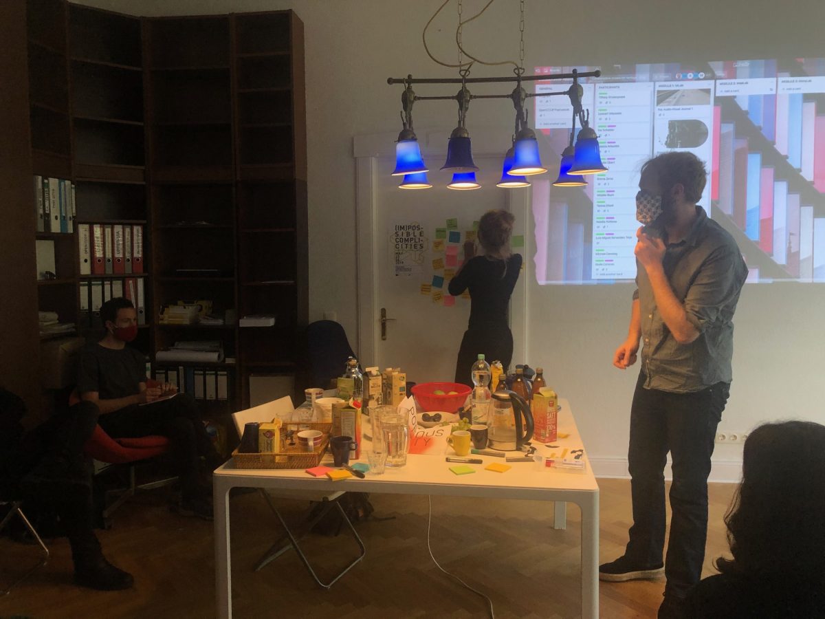
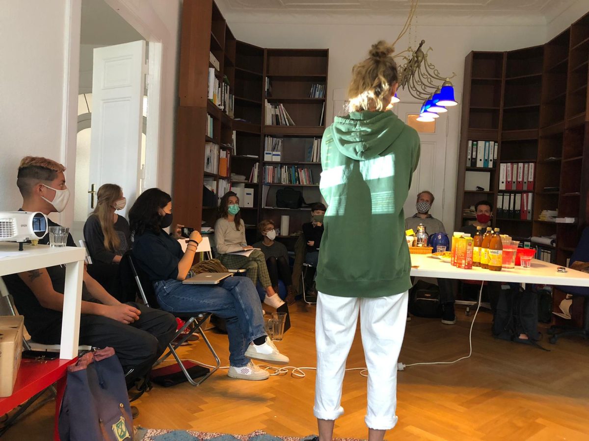
The lab’s program was affected by the pandemic, and after the initial face to face group meetings we had to turn to mostly online activities, which limited some outputs, but also offered interesting insights into tools and methods for collaborative production in times of social distancing. The results of the lab’s explorations, which centred around the Berlin district of Schöneberg, are published on the Urban Reconnaissance blog and will be coming soon to the new NarrAbility interactive storytelling platform that Tesserae is currently developing.
The laboratory concluded with the drafting of three action plans for possible follow-on projects engaging with the Schöneberg community. A final public sharing event for the lab is scheduled for later this year, where the work and ideas of the participants’ will be presented along with the action plans and documentation of the project. Hopefully we will be able to do this in physical co-presence – stay tuned for further updates!


