collaborative mapping

UPPER Kick-off in Latina

UPPER Kick-off in Latina

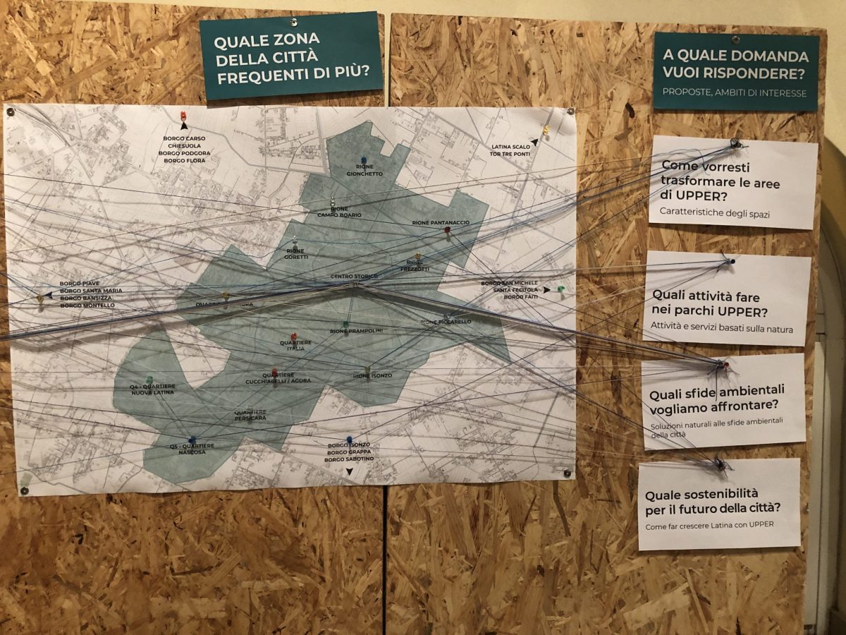
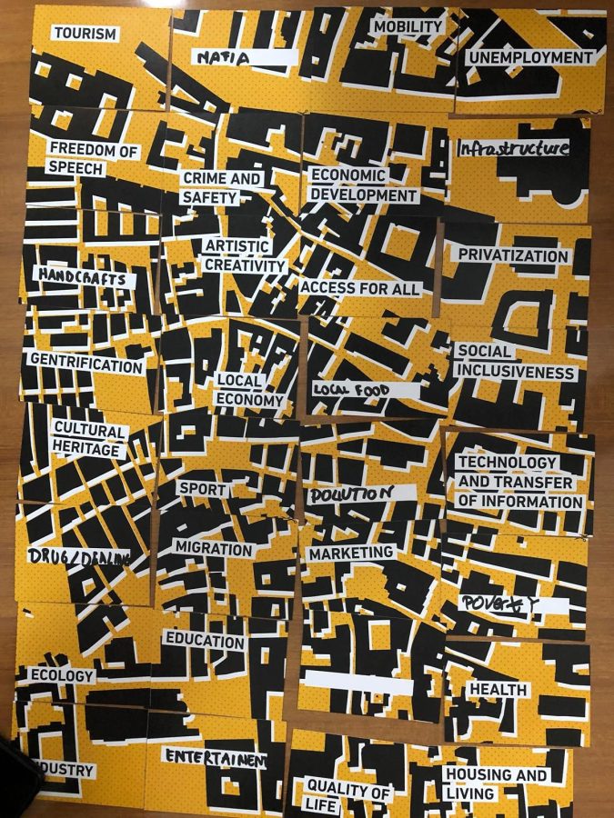
Friday December 13th  the UIA project UPPER was presented to the citizenship at the Palazzo Comunale of Latina. The day included a panel with the participation of other Italian cities that have won an UA grant in the fourth call, and the first laboratory facilitated by Tesserae to engage local stakeholders in the co-design process of […]

Mehringplatz Anknipsen 2 – Nachbarschaftsatlas

Mehringplatz Anknipsen 2 – Nachbarschaftsatlas

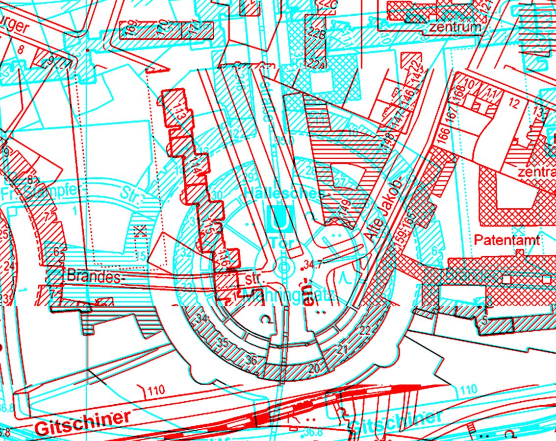
(English below)  Digitaler Nachbarschaftsatlas der Südlichen Friedrichstadt – Workshopreihe Mehringplatz Anknipsen II – Du bist Bewohner*in der Südlichen Friedrichstadt / der Gegend um den Mehringplatz? Und du möchtest dich mehr mit lokalen Themen zur Nachbarschaft auseinandersetzen? Vielleicht bist du schon aktiv oder willst es werden… – dann werde Teil der Workshopreihe “Mehringplatz Anknipsen II”. Was ist […]

Mapping Creativity and Resistance in Kreuzberg

Mapping Creativity and Resistance in Kreuzberg

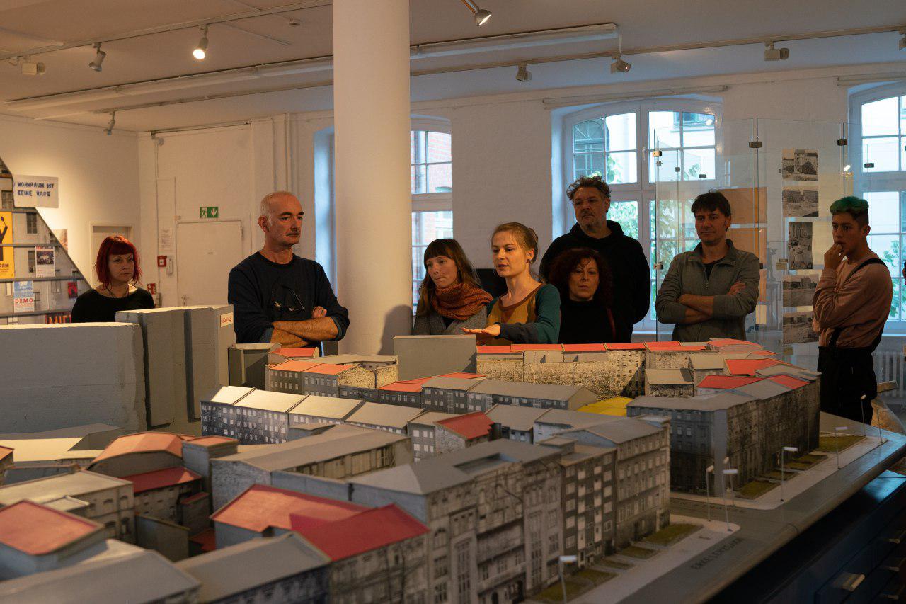
(In progress report) Between November 11th and 25th we have run the “Who Owns Kreuzberg” workshop at the FXHB Museum. This Urban Reconnaissance laboratory  involved a group of activists and researchers in “mapping creativity and resistance”  in Kreuzberg, with the aim to provide an insight into the complexities of urban transformations in the city and to […]

Who Owns Kreuzberg – Registration open

Who Owns Kreuzberg – Registration open

After due to technical reasons at the hosting venue we had to postpone the event planned in September, the new dates for  Who Owns Kreuzberg: mapping spaces of creativity and resistance are established. The workshop will take place at the FXHB Museum on November 11, 18 and 25 at 2pm. Interested in taking part?  Please fill the registration form online.   Nachdem wir aus technischen […]

MEHRINGPLATZ – SÜDLICHE FRIEDRICHSTADT

MEHRINGPLATZ – SÜDLICHE FRIEDRICHSTADT

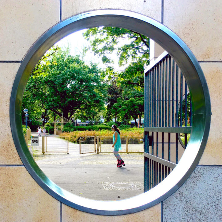
Suffering from its marginalized position during the years of the German division, the neighborhood was recognized and labelled as a deprived area in 2005 due to its low standards of economic development, its poor social integration and quality of life. These characteristics made the territory of Südliche Friedrichstadt a periphery in the centre of Berlin, as the area is located in the proximity of some of the city’s main attractive spots, such as the lively Mitte and the creative Friedrichschain-Kreutzberg. In a twenty-year time-span, a set of policies of local urban renewal has been gradually implemented to re-centralize the neighborhood, starting from the very re-centralization of the role of its residents in directly participating in small decision-making processes. This served to acknowledge, create and institutionalize their identity as a geo-social collectivity. Commercial, leasure and creative initiatives have begun to flourish in the area, projecting it as an emblem of juxtapositions and contradictory tendencies characterizing modern urban contexts, whereby transitions to new lifestyles are mediated by old identites and latent risks of gentrification, displacement and social conflicts.